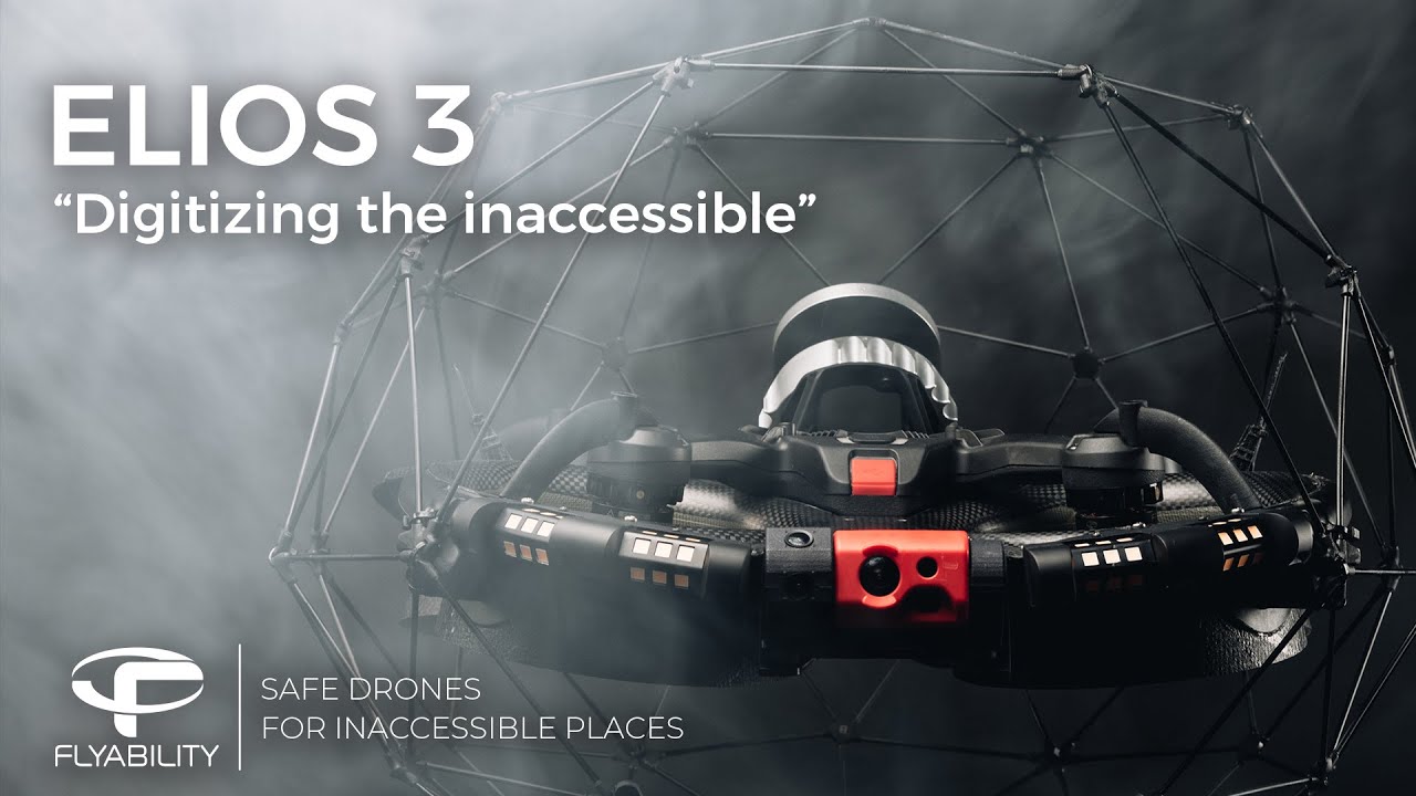
The Elios 3 just launched, and it’s supposed to be an indoor drone that can do real-time mapping. I’m curious if anyone here has tried it yet or knows more about it. What do you all think of this kind of tech?
Looks cool, but I couldn’t find the price anywhere. When companies hide the price, it’s usually expensive. Probably some subscription model like other similar products. I’ll wait until there’s more competition.
@Mai
No subscription for the hardware. It’s priced around $60-70k depending on options. Skydio kind of started this whole model that’s becoming common in the drone industry.
Adair said:
@Mai
No subscription for the hardware. It’s priced around $60-70k depending on options. Skydio kind of started this whole model that’s becoming common in the drone industry.
Can you explain more about the costs? Is it just the hardware, or are there other fees?
Adair said:
@Mai
No subscription for the hardware. It’s priced around $60-70k depending on options. Skydio kind of started this whole model that’s becoming common in the drone industry.
Is this drone fully autonomous, or does it need a lot of manual control?
Adair said:
@Mai
No subscription for the hardware. It’s priced around $60-70k depending on options. Skydio kind of started this whole model that’s becoming common in the drone industry.
What about the 3D mapping feature? Is it included, or do you pay per use through some cloud service?
@Mai
No cloud here. Everything is processed locally. The current design is still a prototype, but once finalized, it won’t need external dependencies.
Adair said:
@Mai
No cloud here. Everything is processed locally. The current design is still a prototype, but once finalized, it won’t need external dependencies.
Interesting. I’ll check it out for work. It could map tunnels super quickly.
@Mai
Yeah, it’s fast. It maps in real-time during flight, so you can start analyzing immediately after. Really useful tool!
Adair said:
@Mai
Yeah, it’s fast. It maps in real-time during flight, so you can start analyzing immediately after. Really useful tool!
Do you work for the company?
Adair said:
@Mai
Yeah, it’s fast. It maps in real-time during flight, so you can start analyzing immediately after. Really useful tool!
Do you work for the company?
I do!
@Adair
We’re based in Canada. Does it ship here?
Did you end up buying one of these?
I was curious too. What’s your experience so far with it?
Adair said:
@Mai
Yeah, it’s fast. It maps in real-time during flight, so you can start analyzing immediately after. Really useful tool!
What kind of software does it use? Is it proprietary, or does it work with platforms like ESRI? Is it more GIS/CAD focused or just imagery processing?
@Luca
I’m researching indoor inspection tools. What kind of projects are you using it for?
